
SkyView
The spring of 2012 was dedicated to the design, build, and launch of a 50,000ft capable high-altitude project with greater simplicity and reliable than Horizon and Explorer. This project, coined SkyView, implemented both major and minor changes to optimize high-altitude flight, tracking, and image capture.
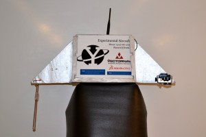
The craft was designed to travel to an altitude of 50,000 ft. and record its ascent and descent, featuring two high-definition GoPro cameras, pointing horizontally and down. Updated web and ground tracking systems, custom antennas, and improved communication protocols improved reliability from the Horizon and Explorer projects, increasing ease of retrieval. Like Explorer, SkyView featured a stlyish Kevlar-reinforced foam unibody structure and a custom YUAA-designed release circuit board.
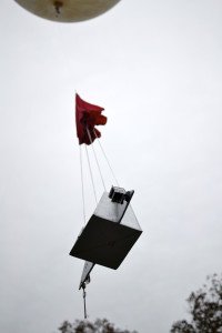
Testing of Horizon Skyview began at the end of the spring 2012 semester and continued into the next semester. Once the individual systems were cleared, the project was launched on 24th October 2012. All on-board systems operated nominally, but the weather worked against us. After reaching a significant altitude, the craft took a southward turn from its westward direction. We attempted to use our emergency release mechanism, but it was too late. SkyView splashed down by Fisher’s Island in the Long Island Sound, making its recovery impossible at nearly 4.3 miles off the coast.
We regret the loss of the craft and the flight footage, but we learned with the memories and teamwork experience gained from building and flying SkyView.
The full mission report can be found here: SkyView report